
PARE Services
Comprehensive Consulting. Precise Data. Real Insight.
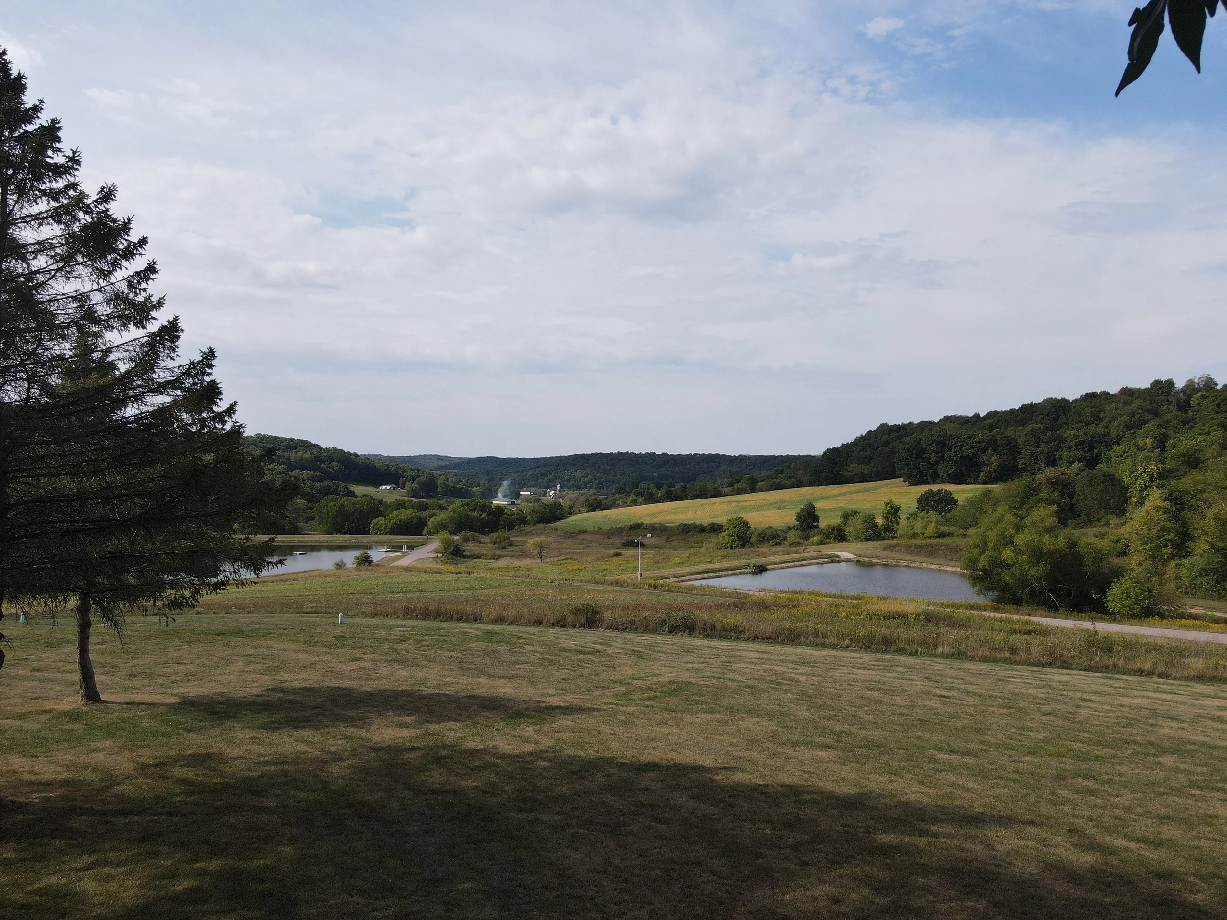
PARE Consultants combines surveying, GIS mapping, environmental science, land and resource appraisal, and land-use expertise to deliver clear, dependable answers for complex projects. Our team transforms data and insight into confident decisions that support sustainable growth, responsible development, and informed land management across Wisconsin and Minnesota.
Surveying & GIS Mapping:

-
Boundary, topographic, remote-sensing, and LIDAR data collection with professional analysis.
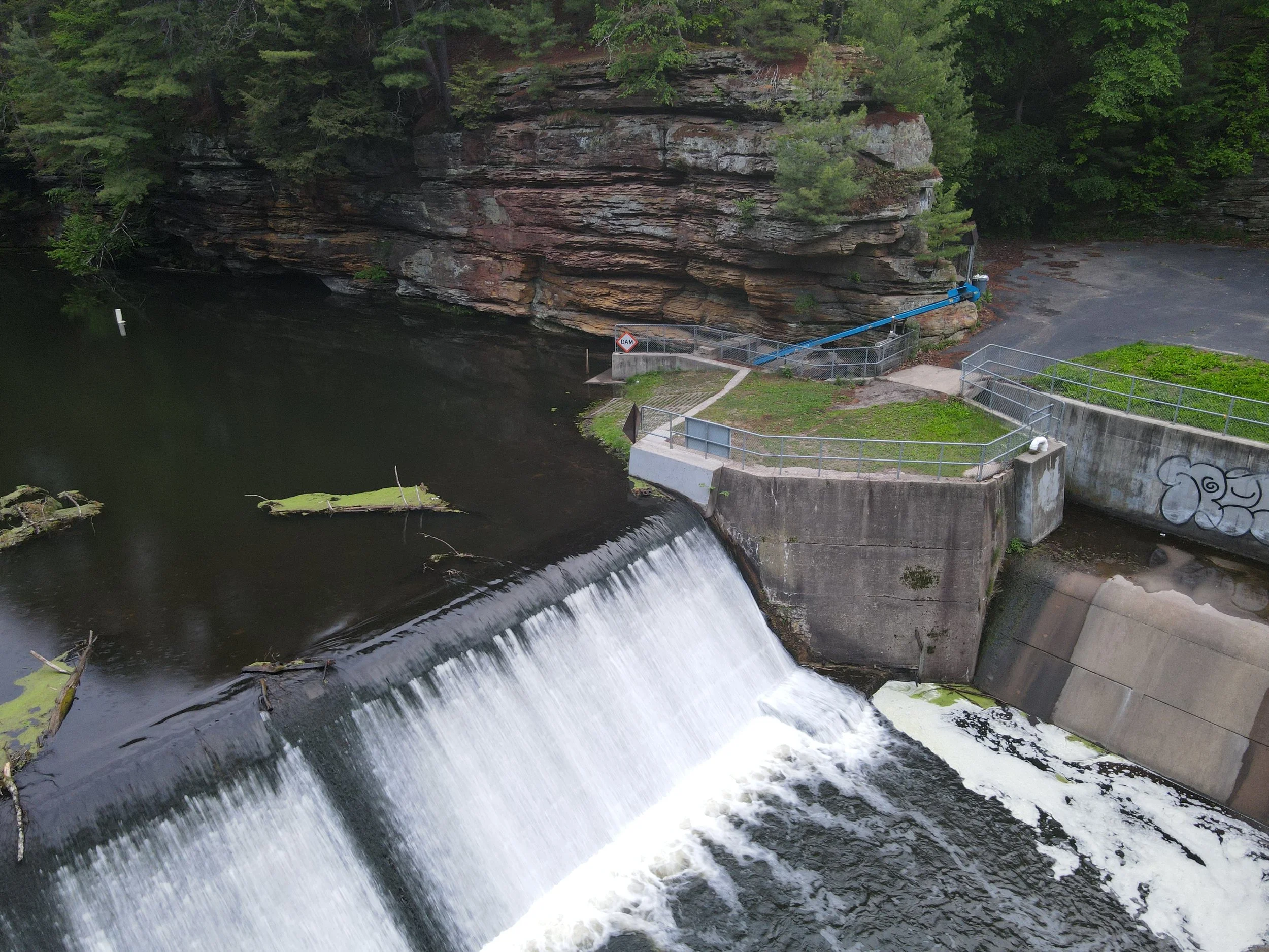
Environmental Consulting:

-
Permitting, compliance, wetland identification, and environmental assessments.
Site & Land Development Support:
-
Practical grading and stormwater design that meet regulations and real-world conditions.
Land & Resource Appraisal:
-
GIS-based valuation and assessment for wild-lands, farmland, and commercial properties.
Planning & Development Consulting:

-
Feasibility and land-use studies that guide responsible growth.
Partner with Professionals Who Understand Your Land from Every Angle.
PARE Consultants provides surveying, GIS, environmental, and appraisal services across Wisconsin and Minnesota.
Reach out today! Our team is ready to help you move forward with clarity and confidence.