PARE
Technology Enhanced Services
Advanced tools and data used to improve accuracy, efficiency, and defensibility across our appraisal and consulting work.
-

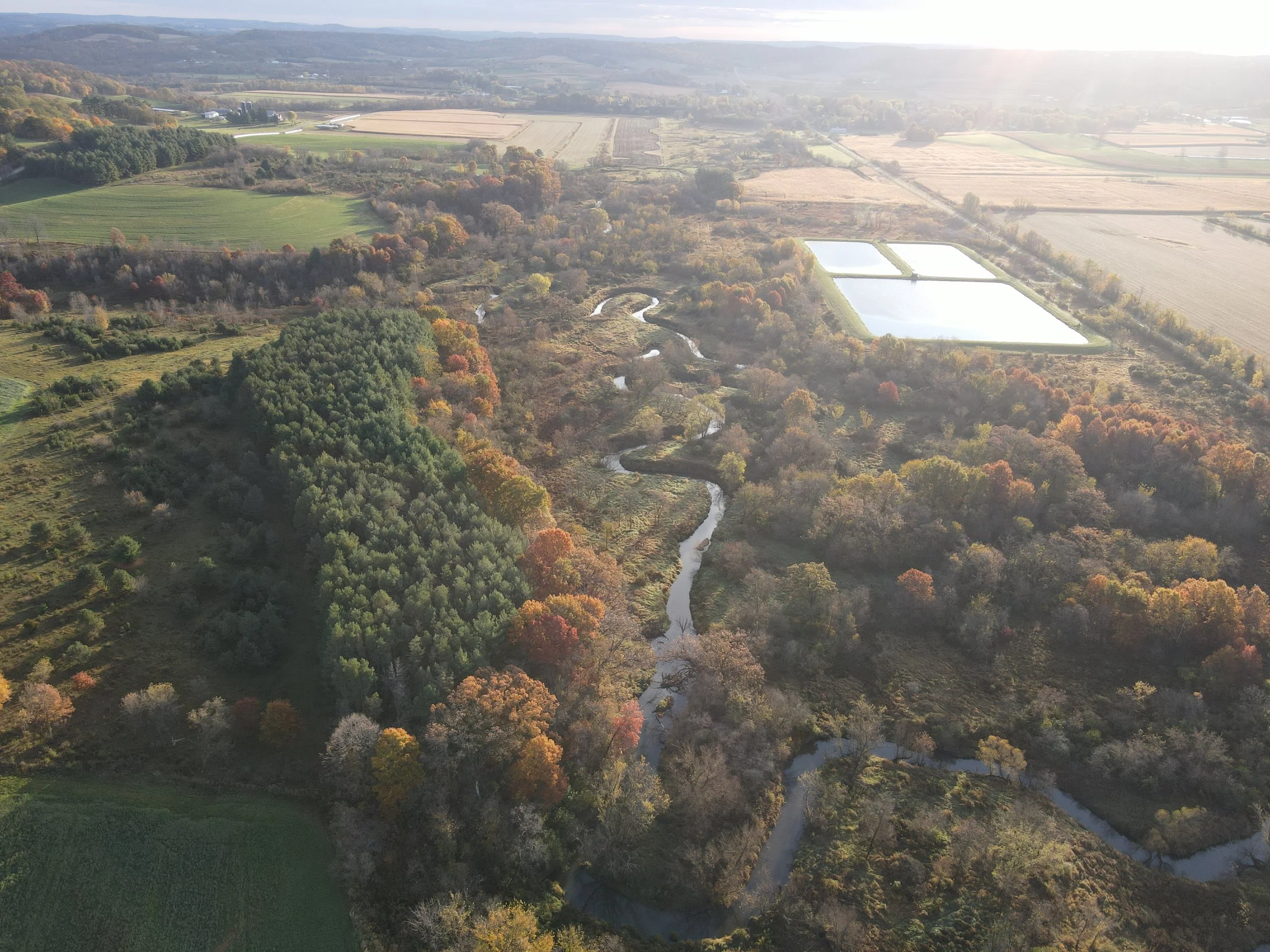
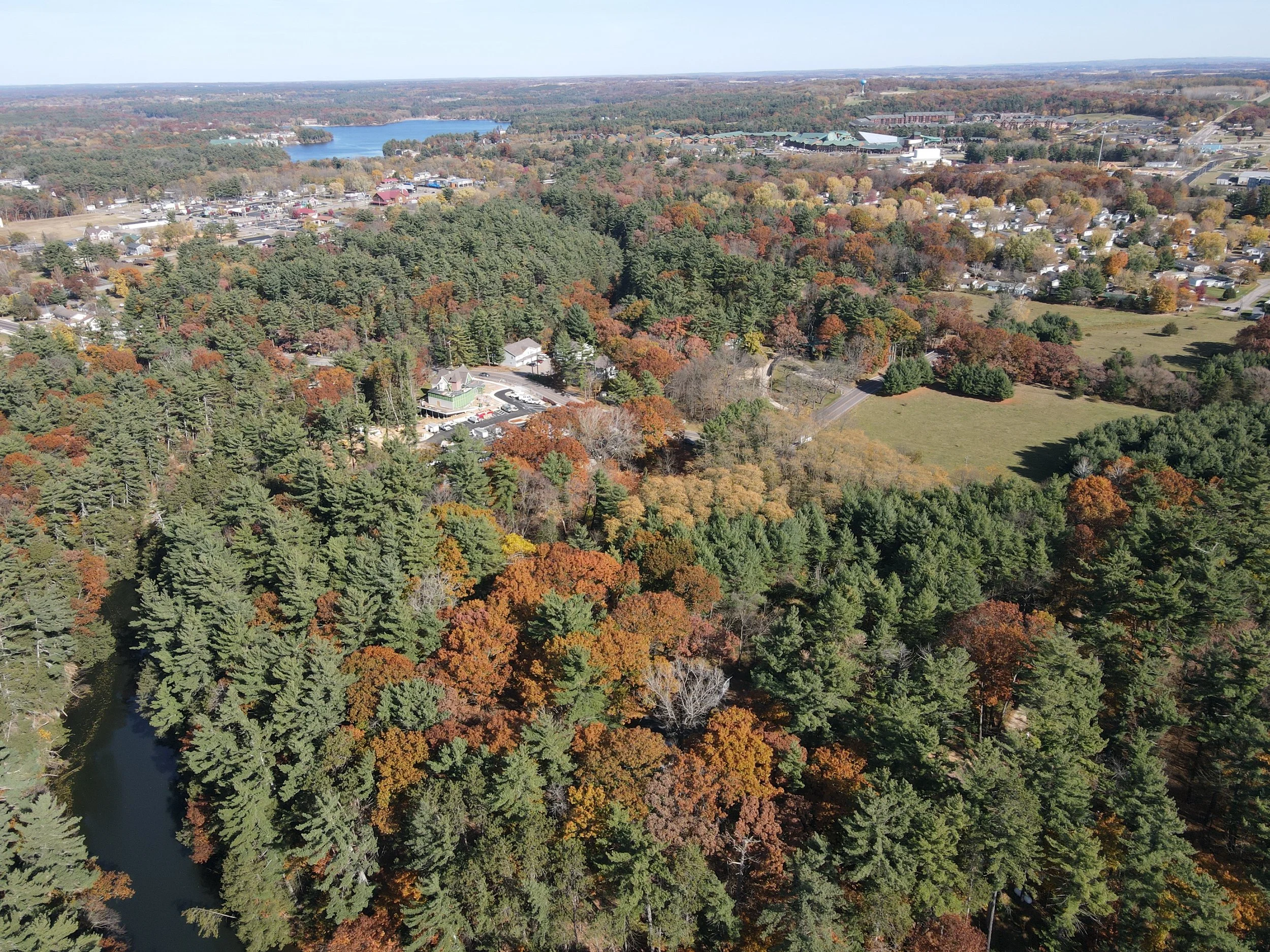
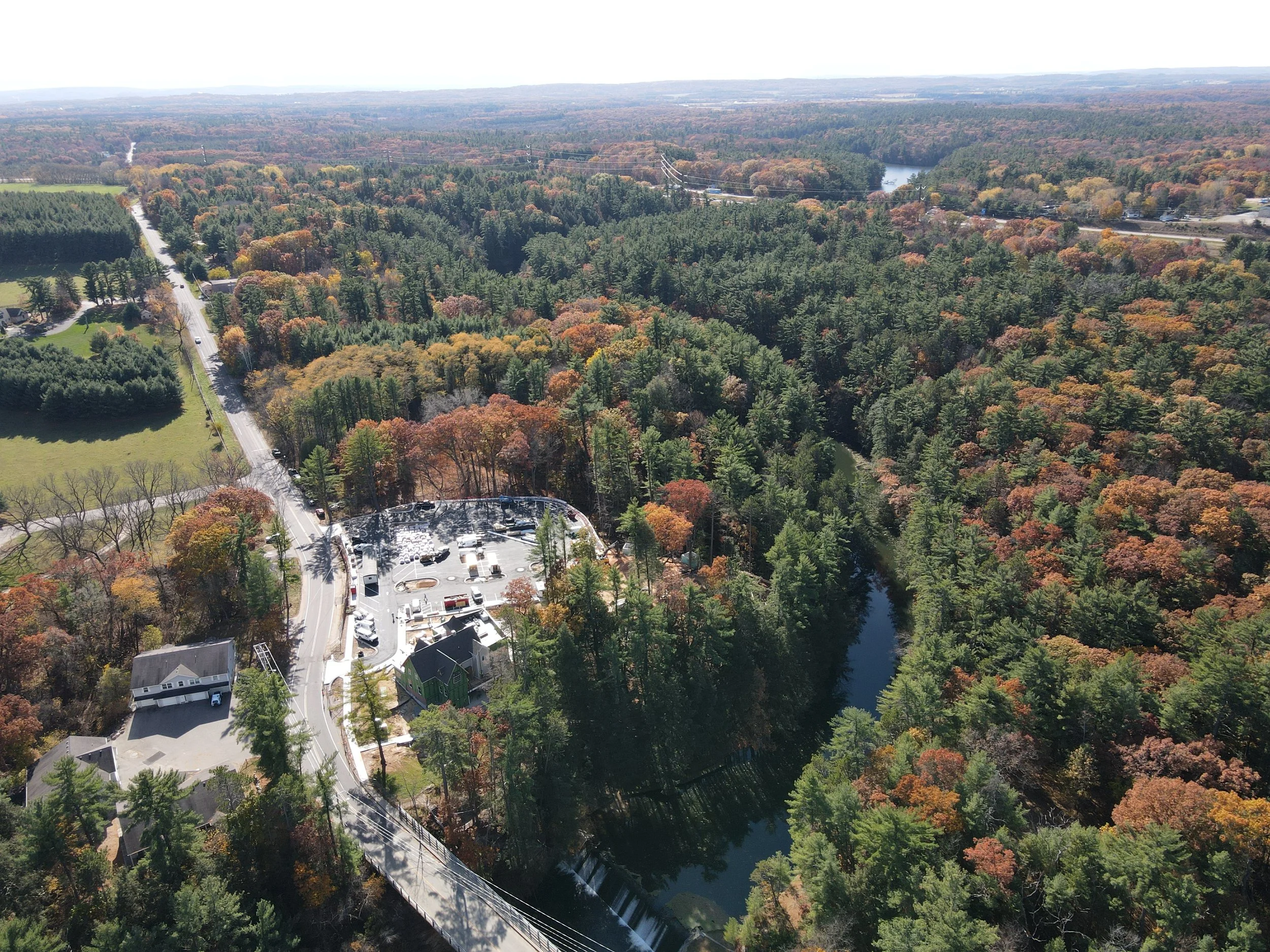
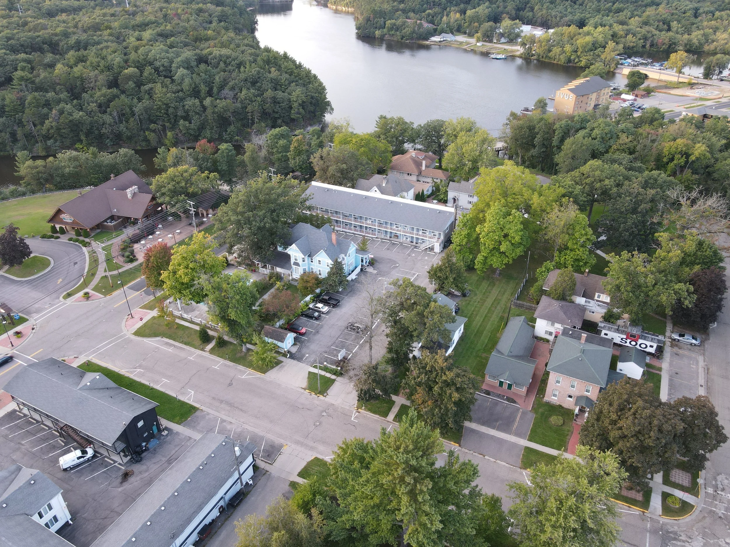
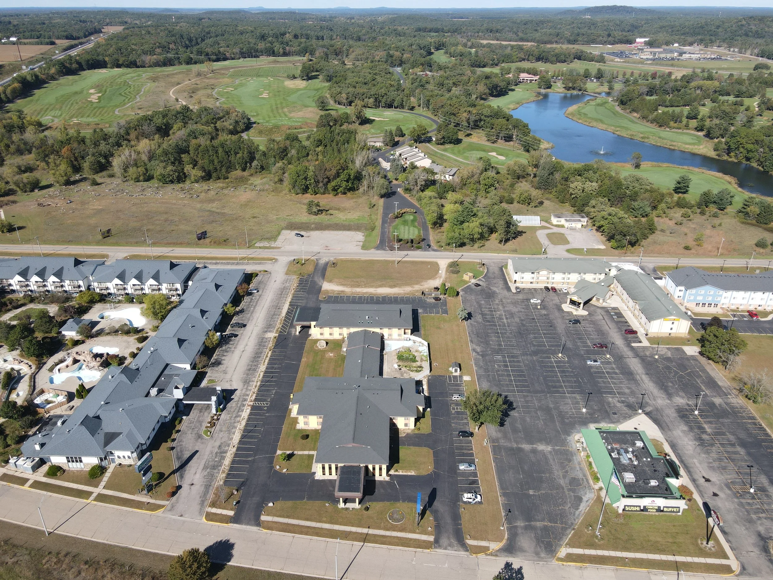
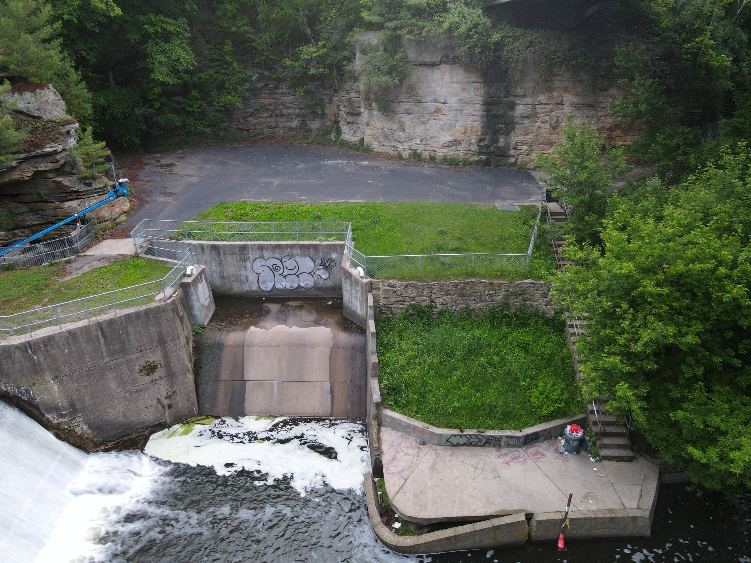
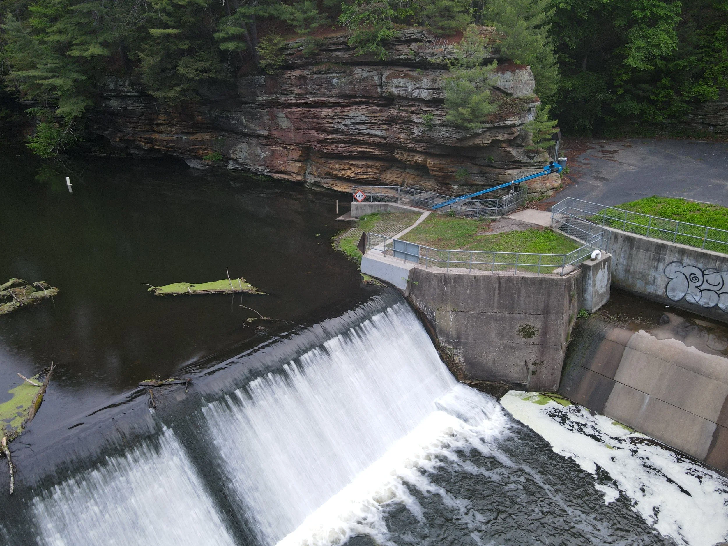
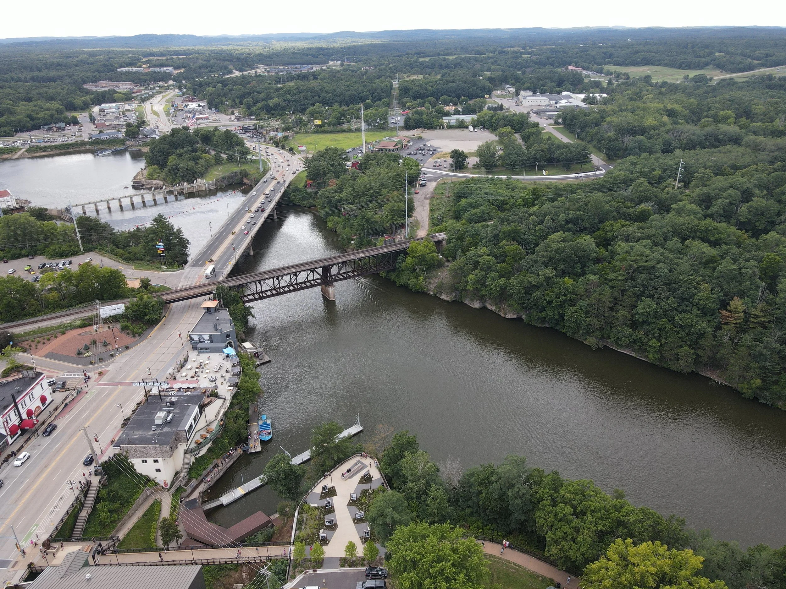
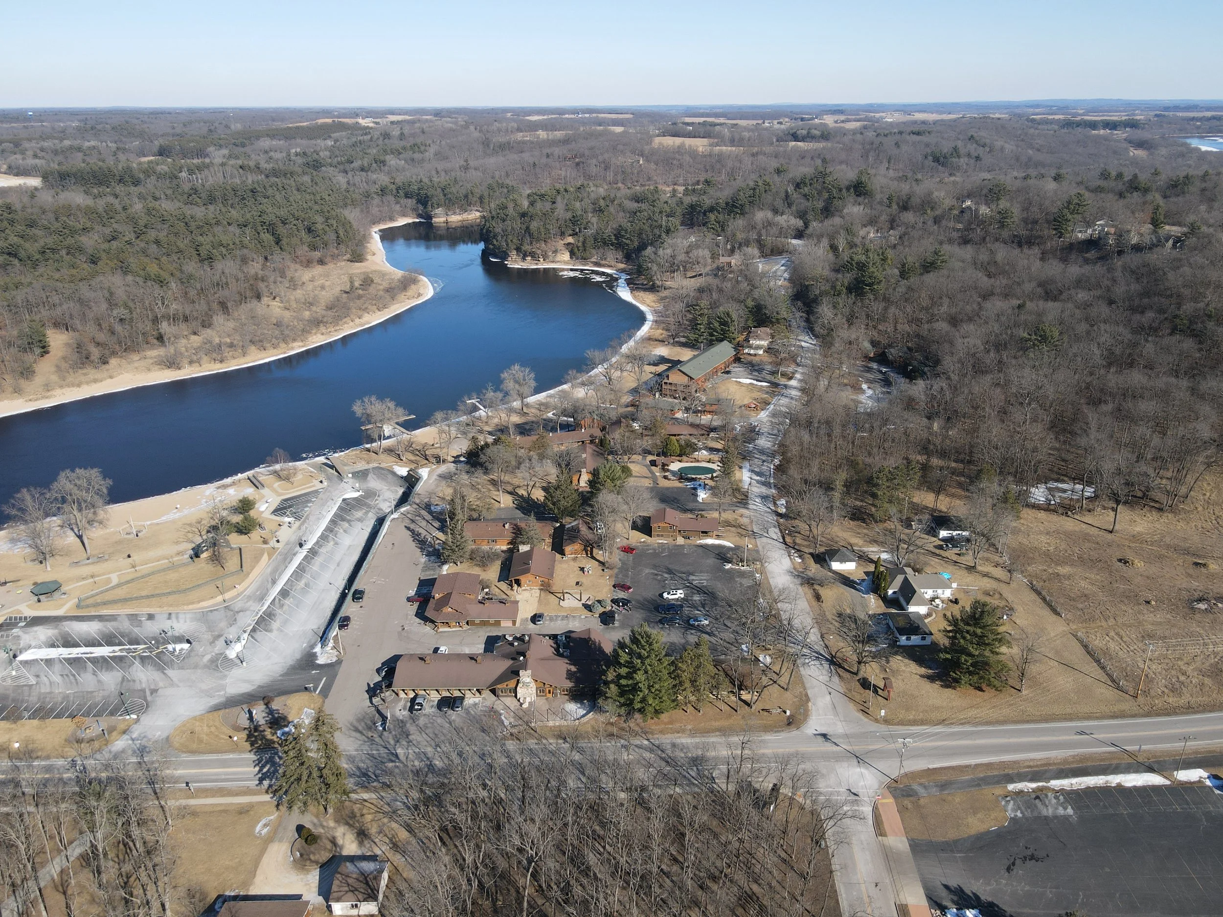
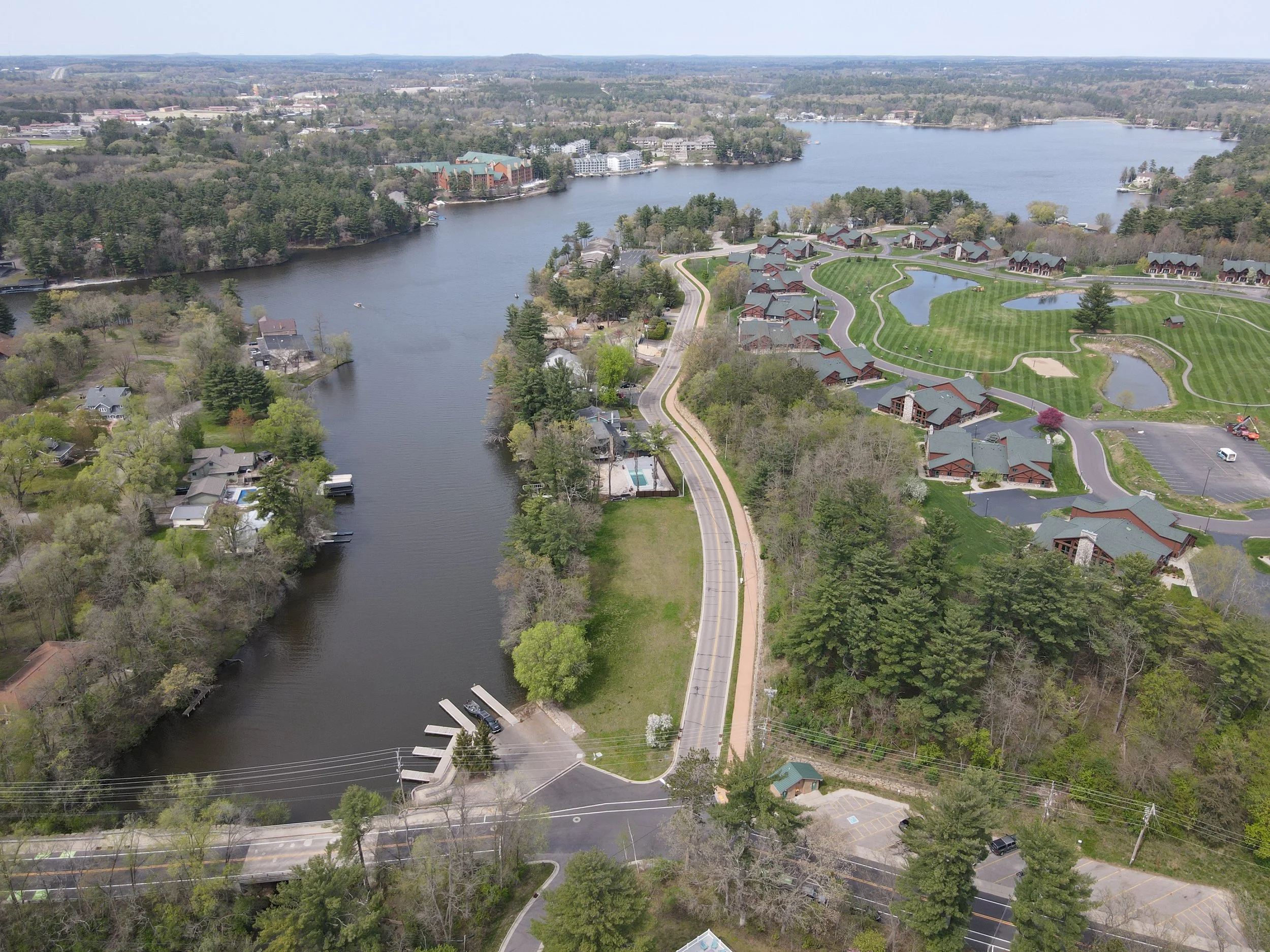
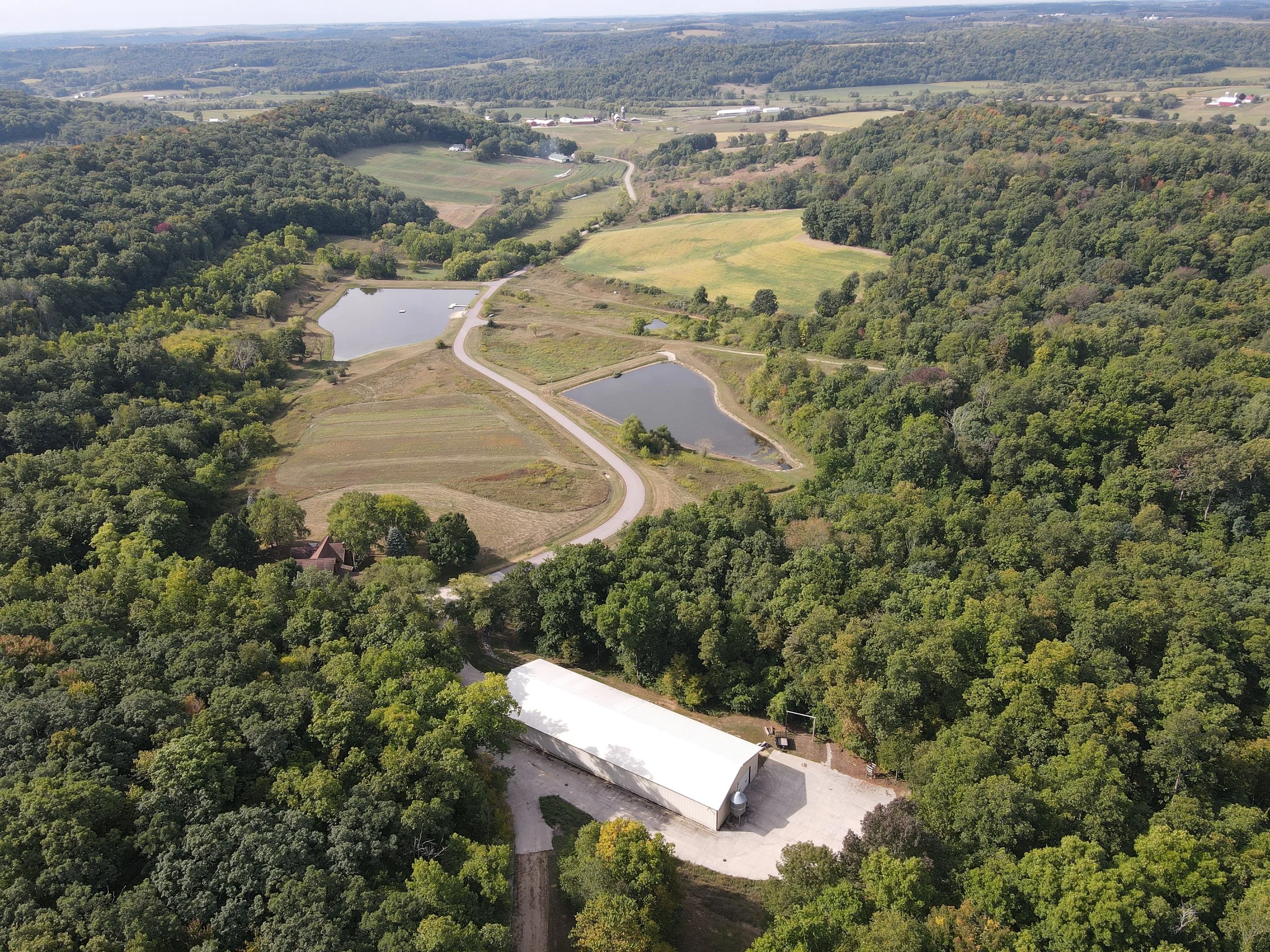
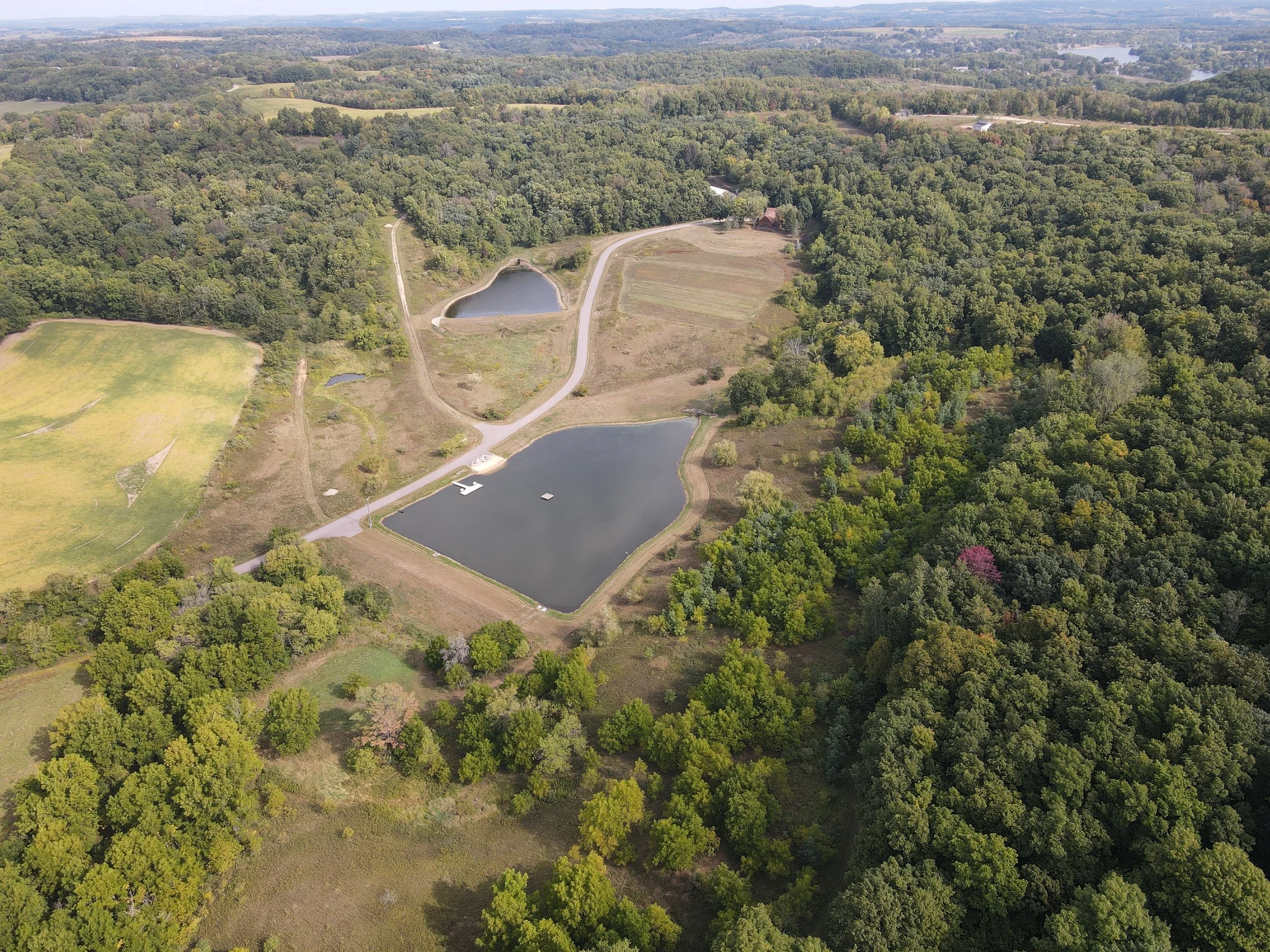
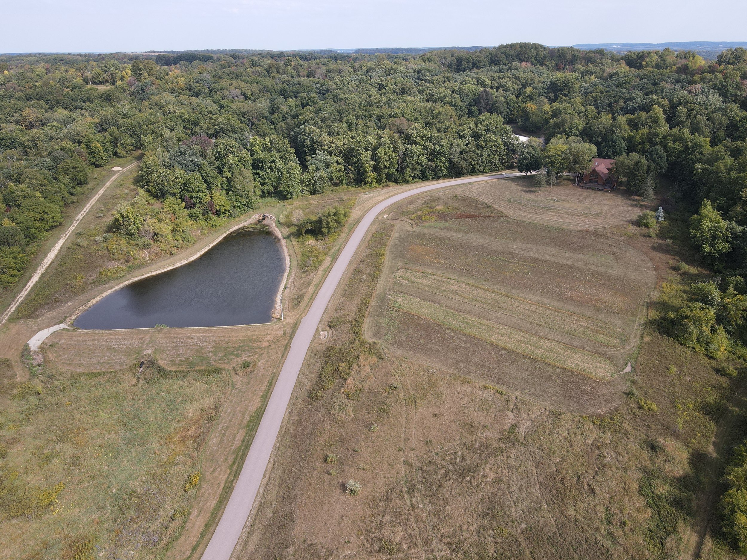
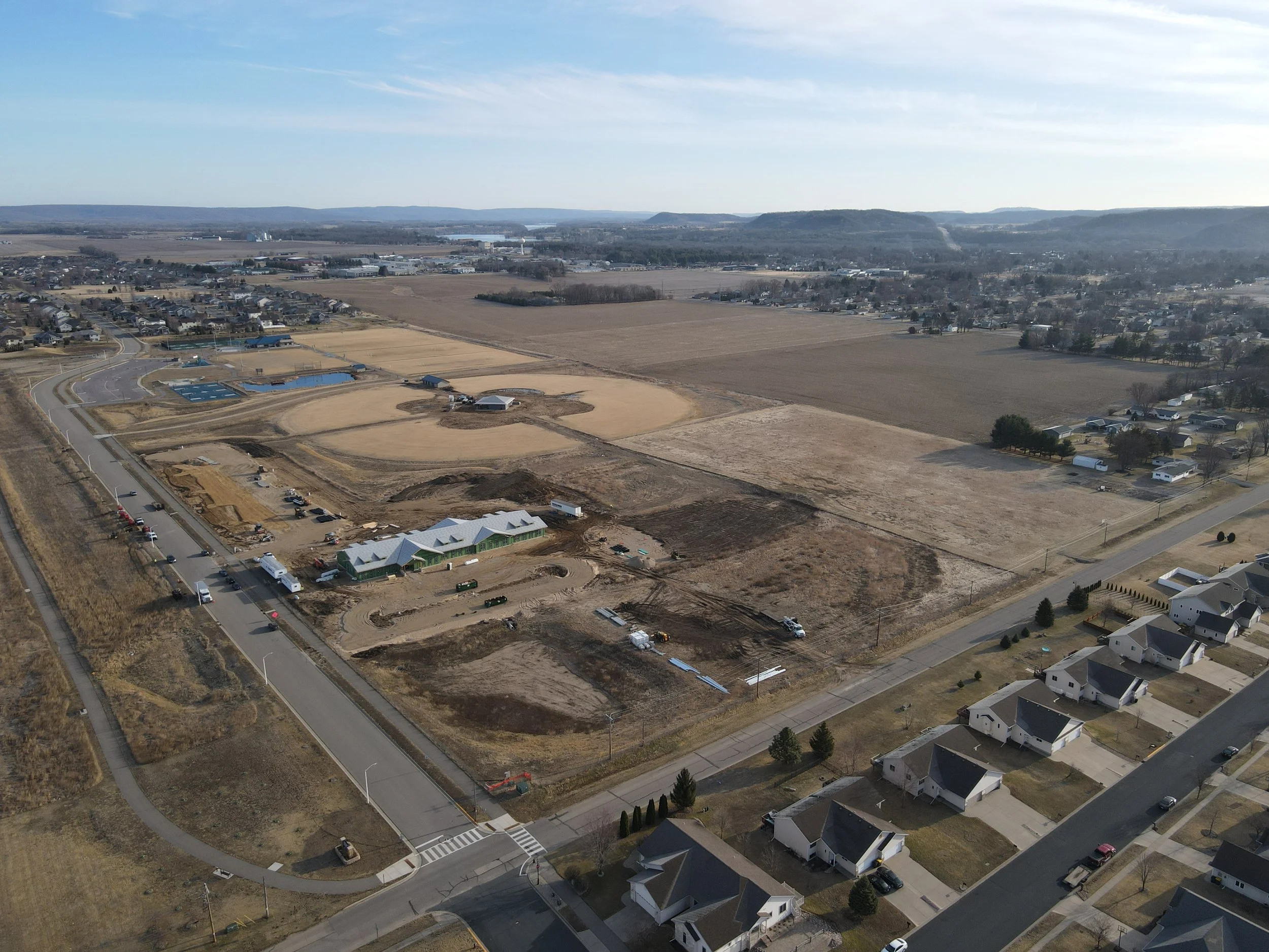
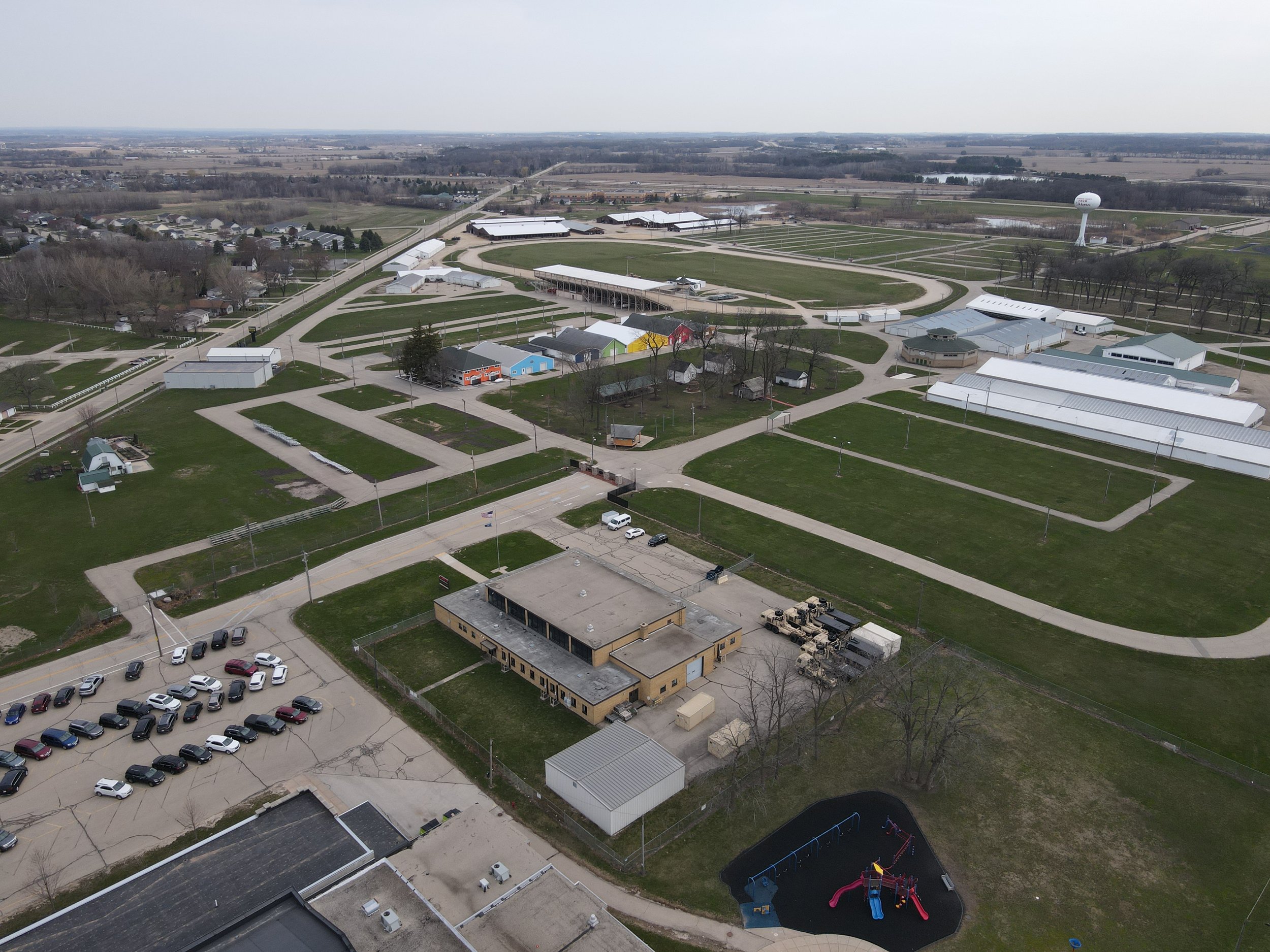
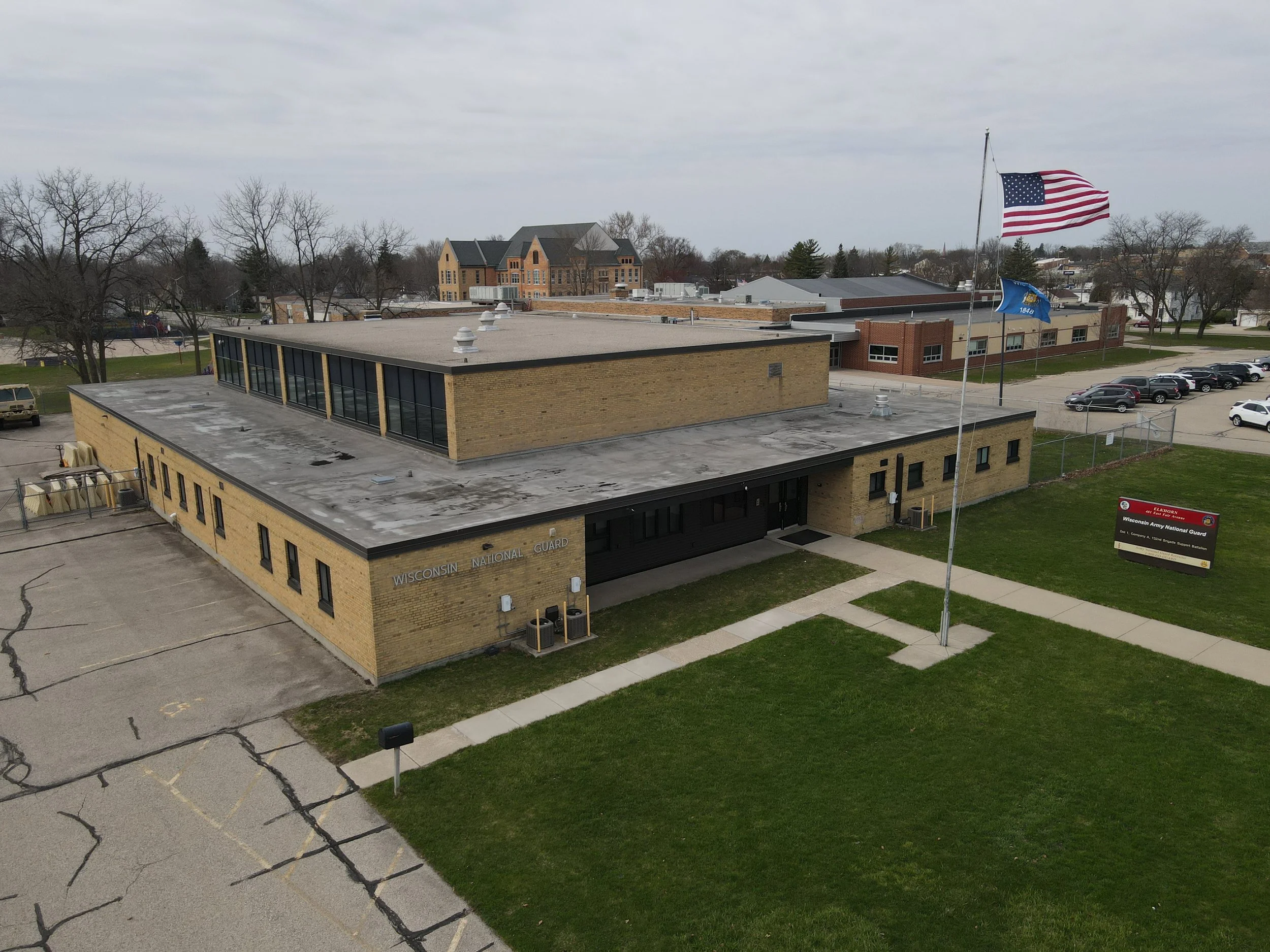
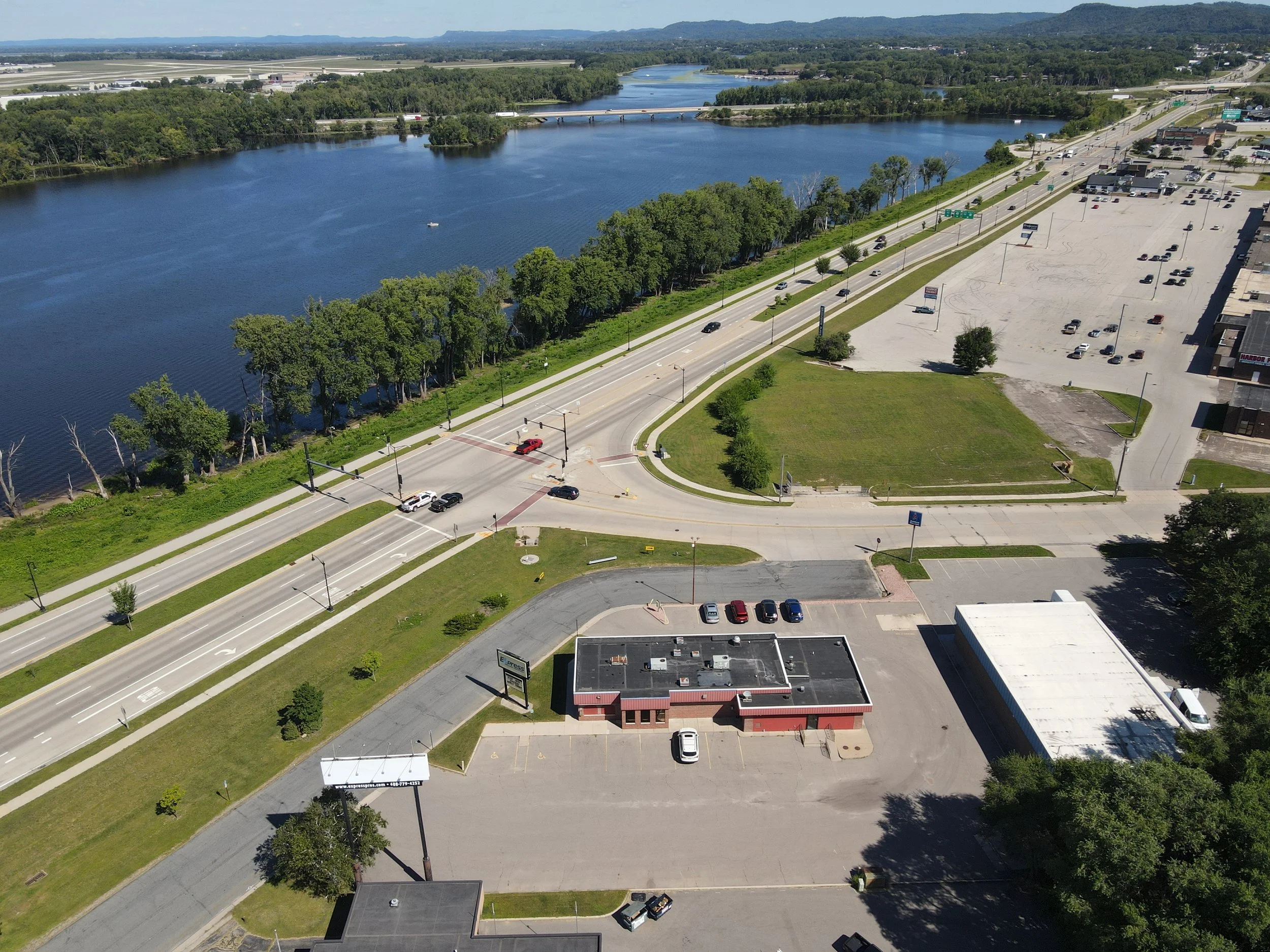
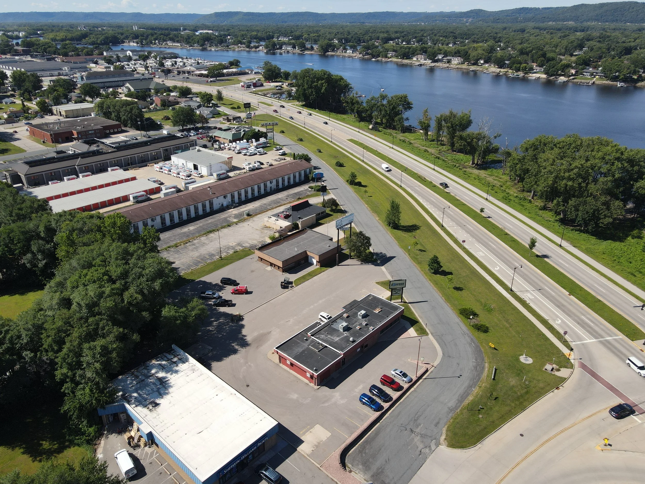
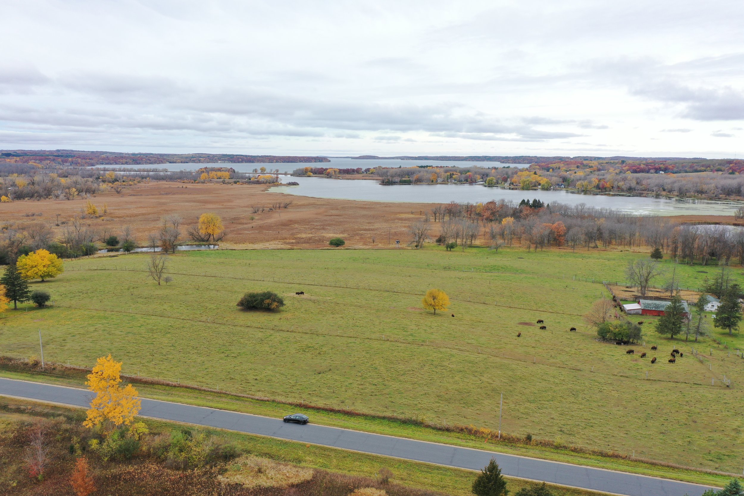
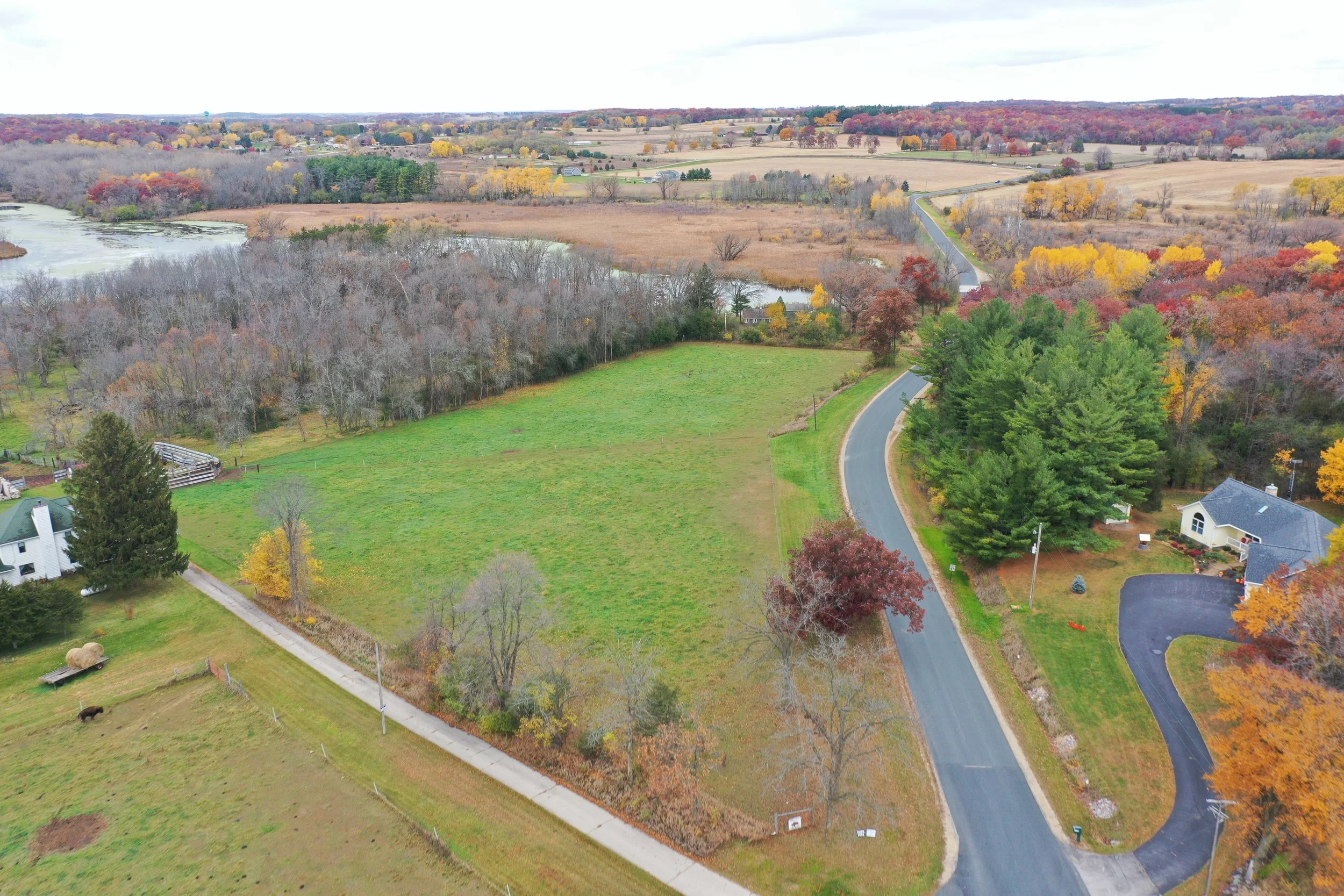
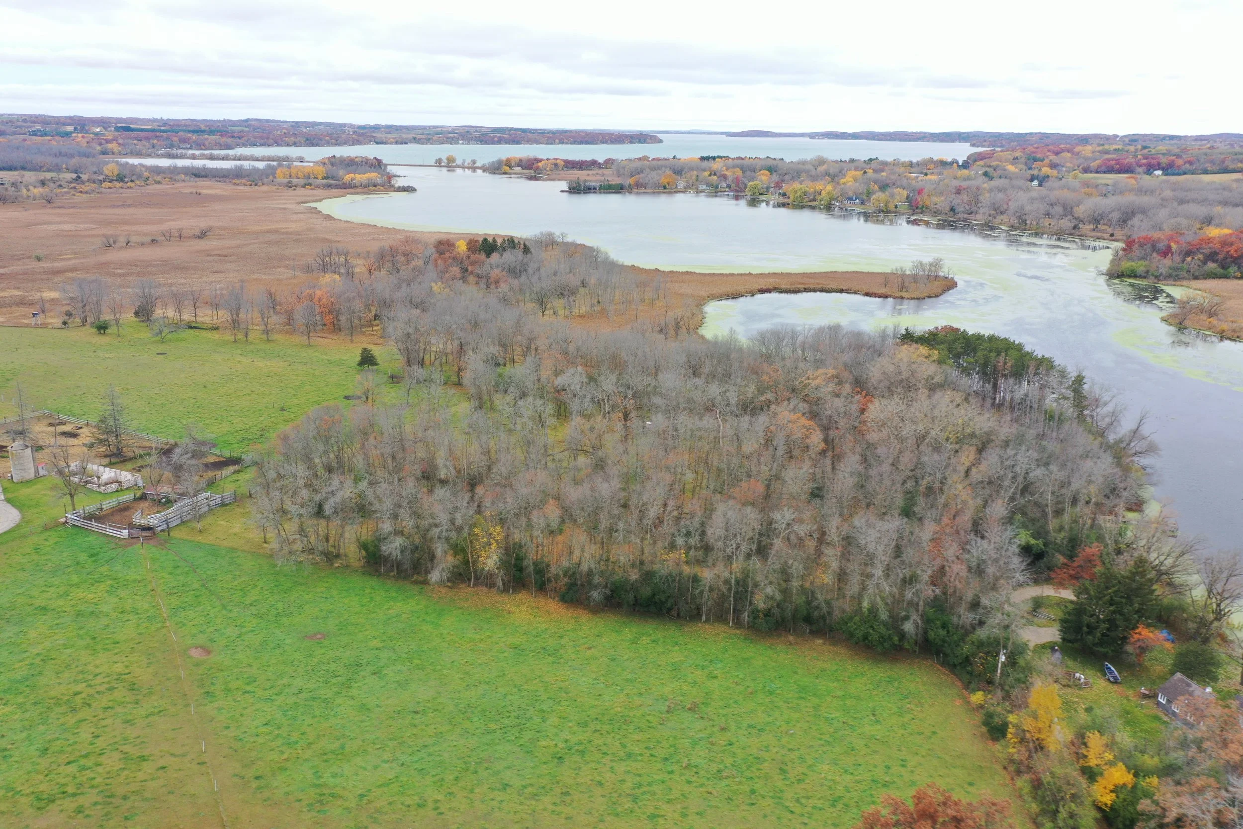
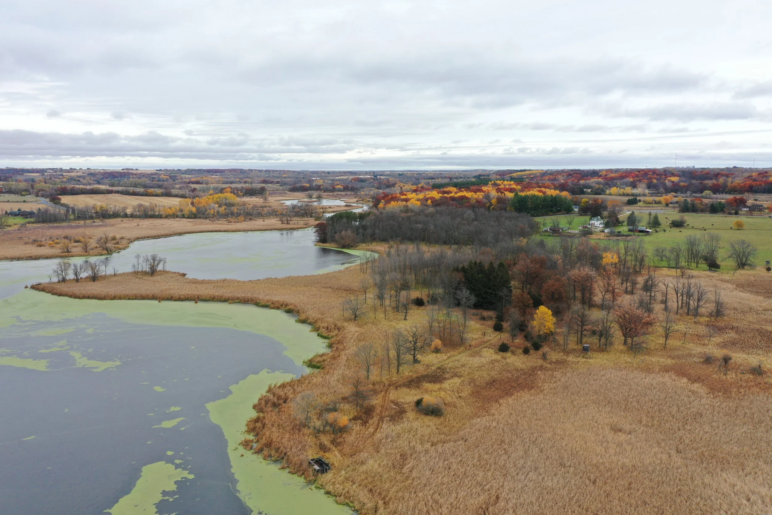
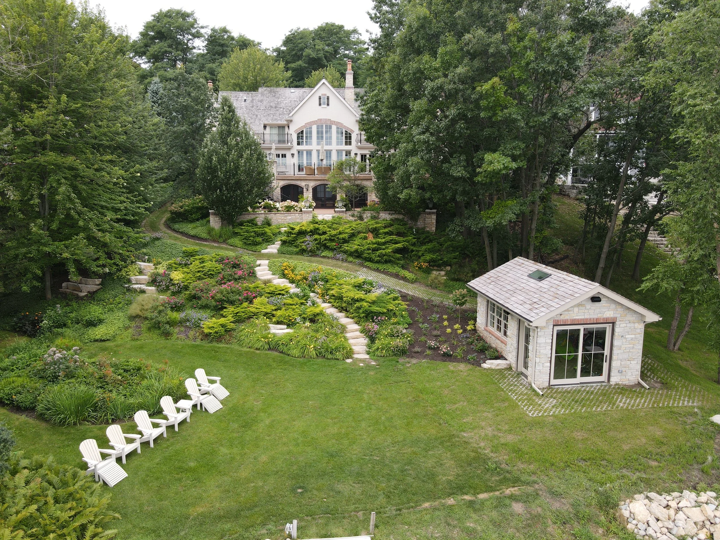
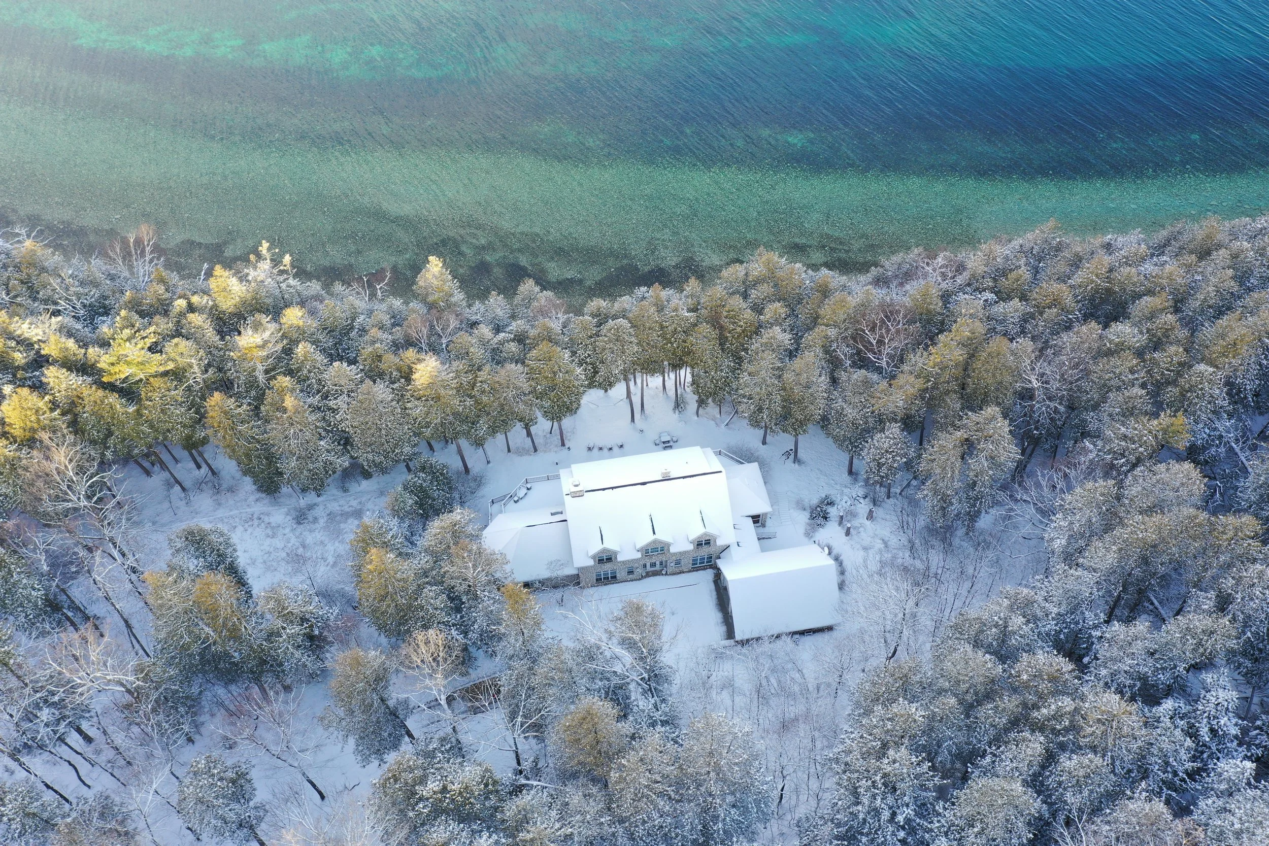
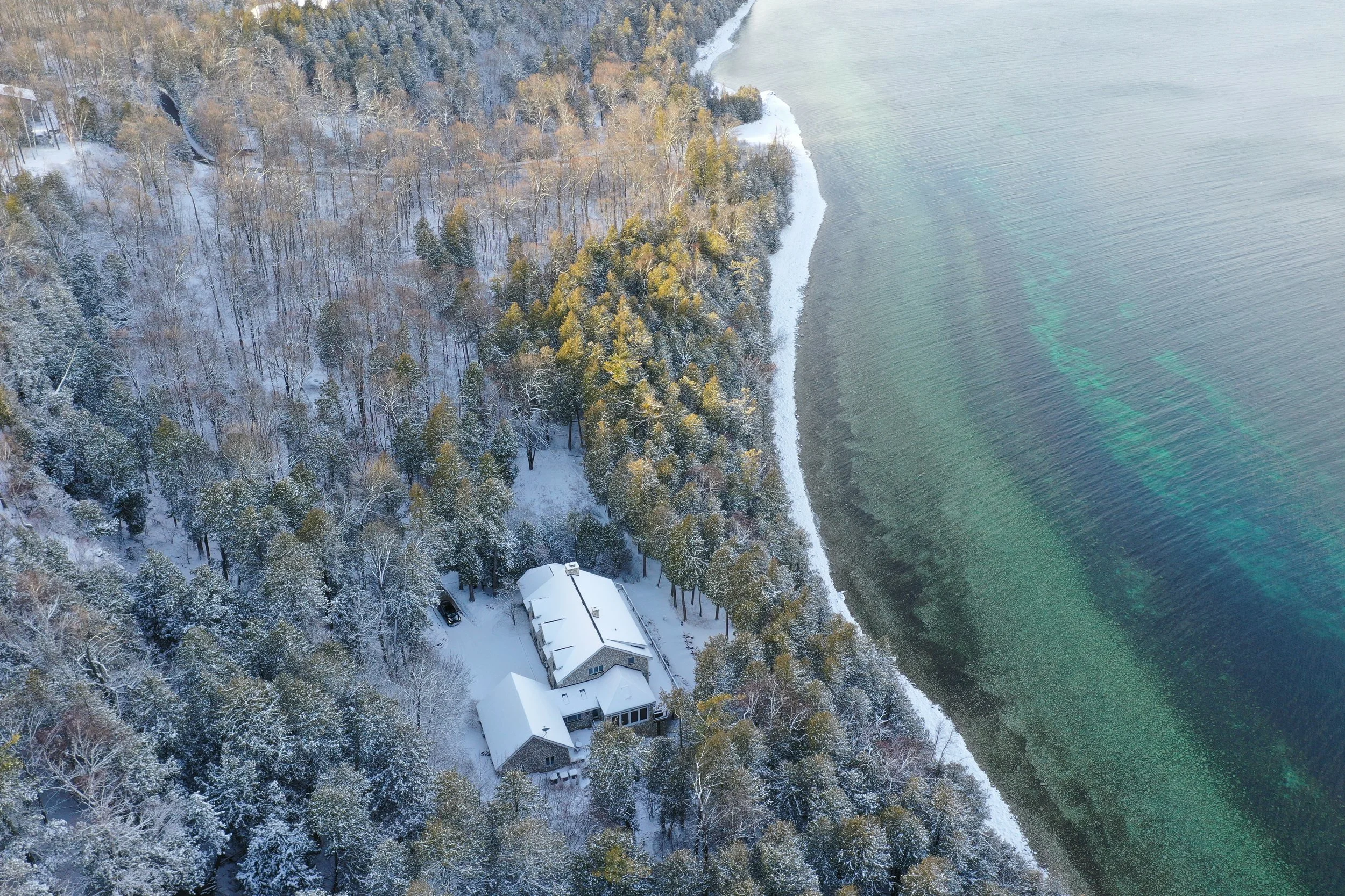
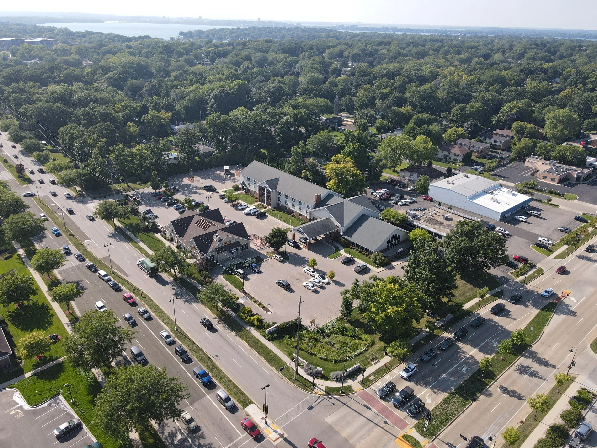
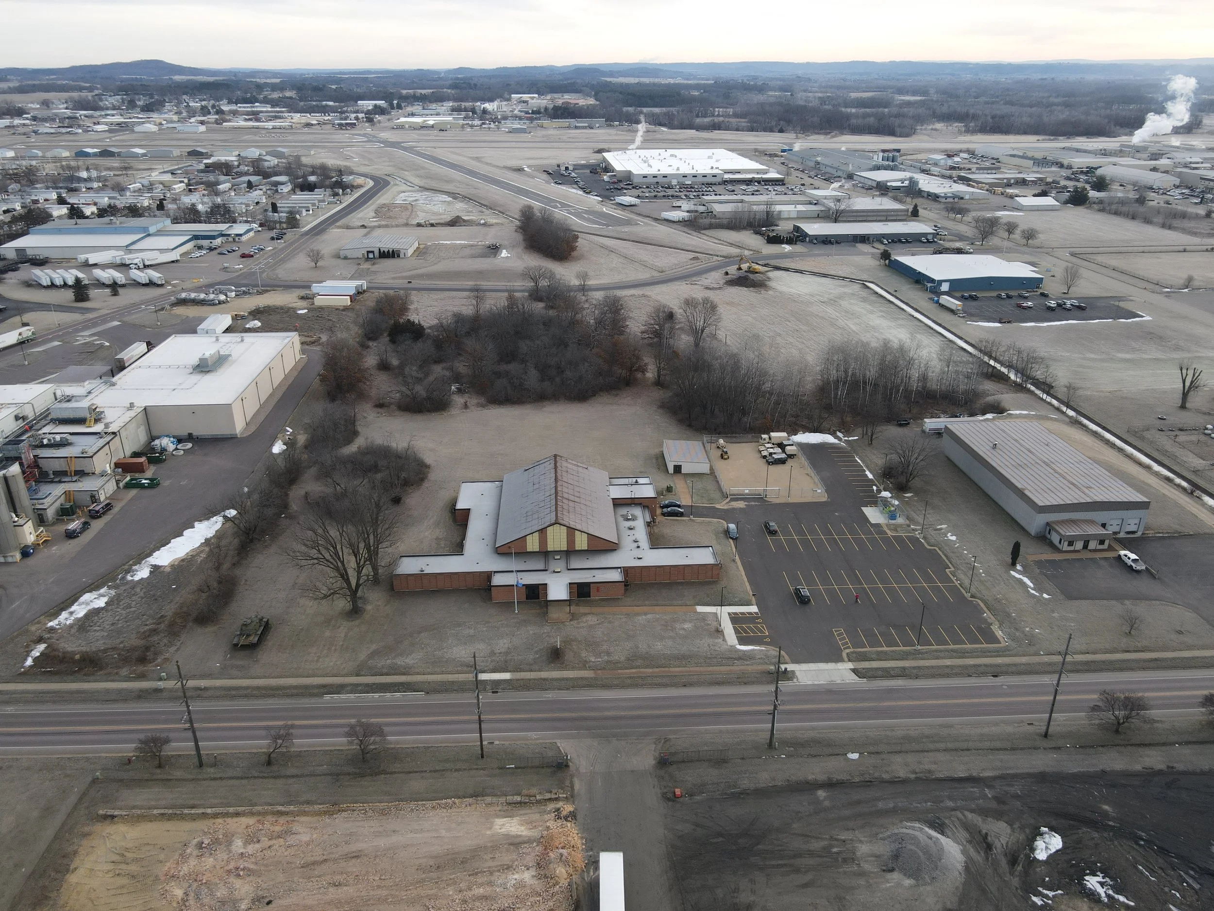
Drone Photography & Aerial Video
For clearer site understanding and stronger documentation.
Licensed and partner drone pilots capture high-quality aerial imagery and video of land and improvements. This imagery is integrated directly into appraisal and consulting reports to support analysis, enhance communication, and provide clear visual context for reviewers and decision-makers. -
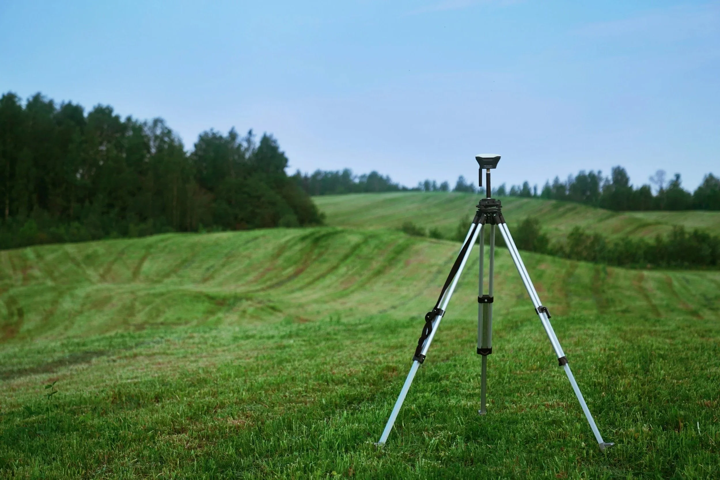
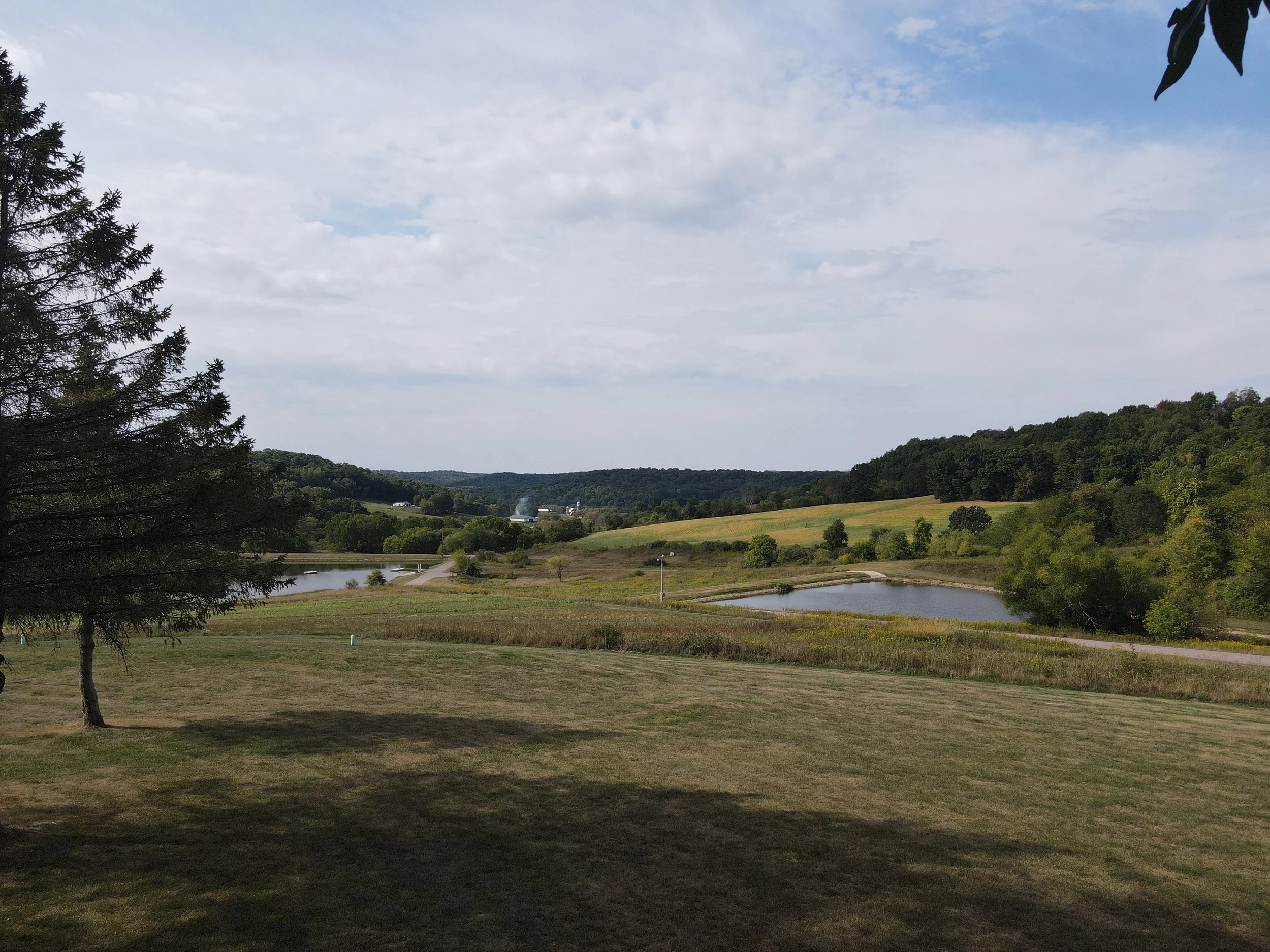
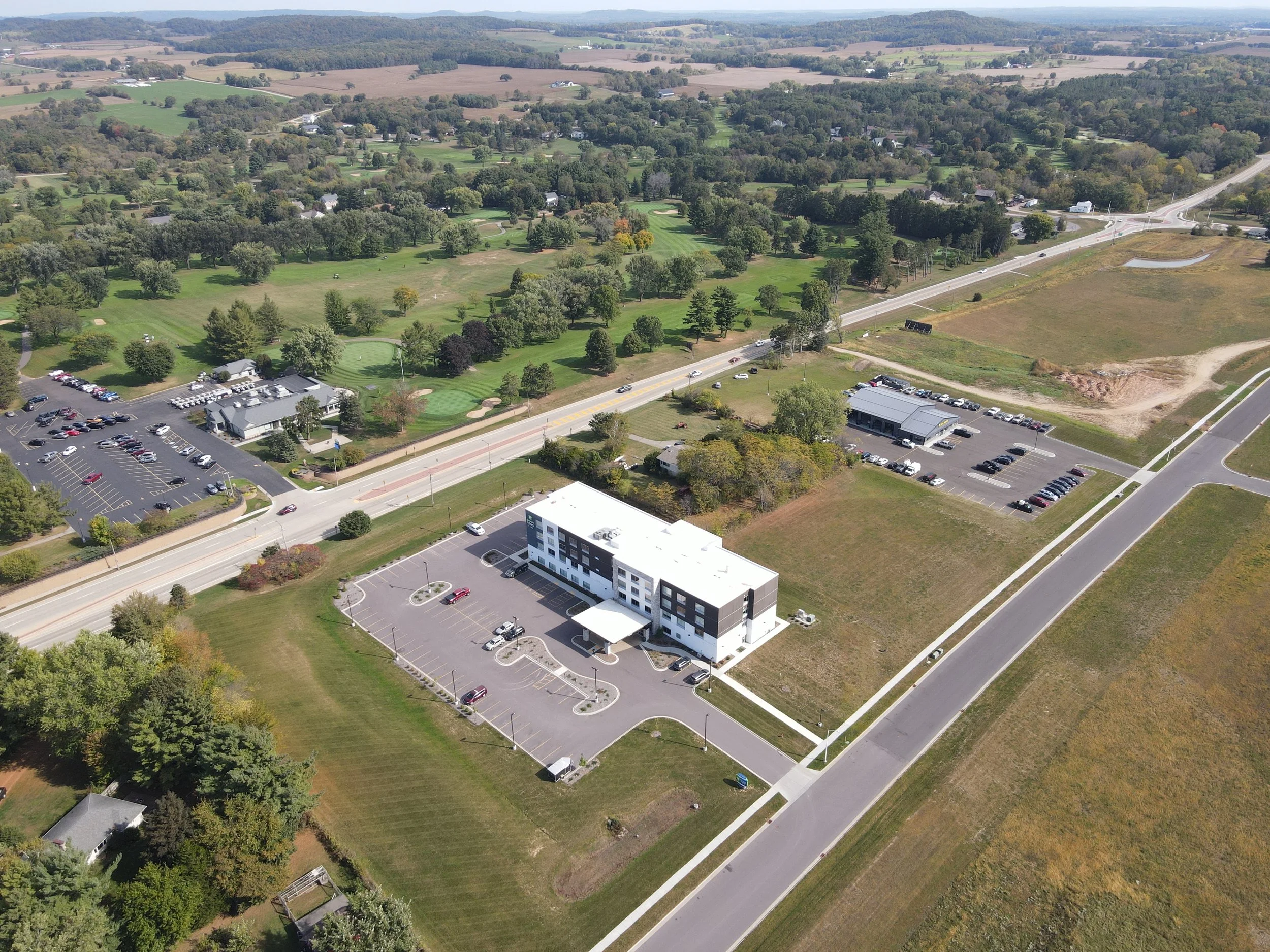
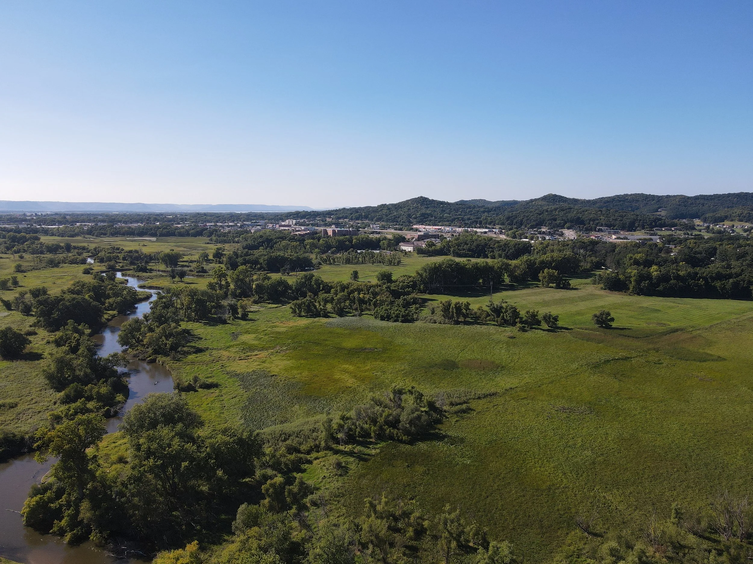
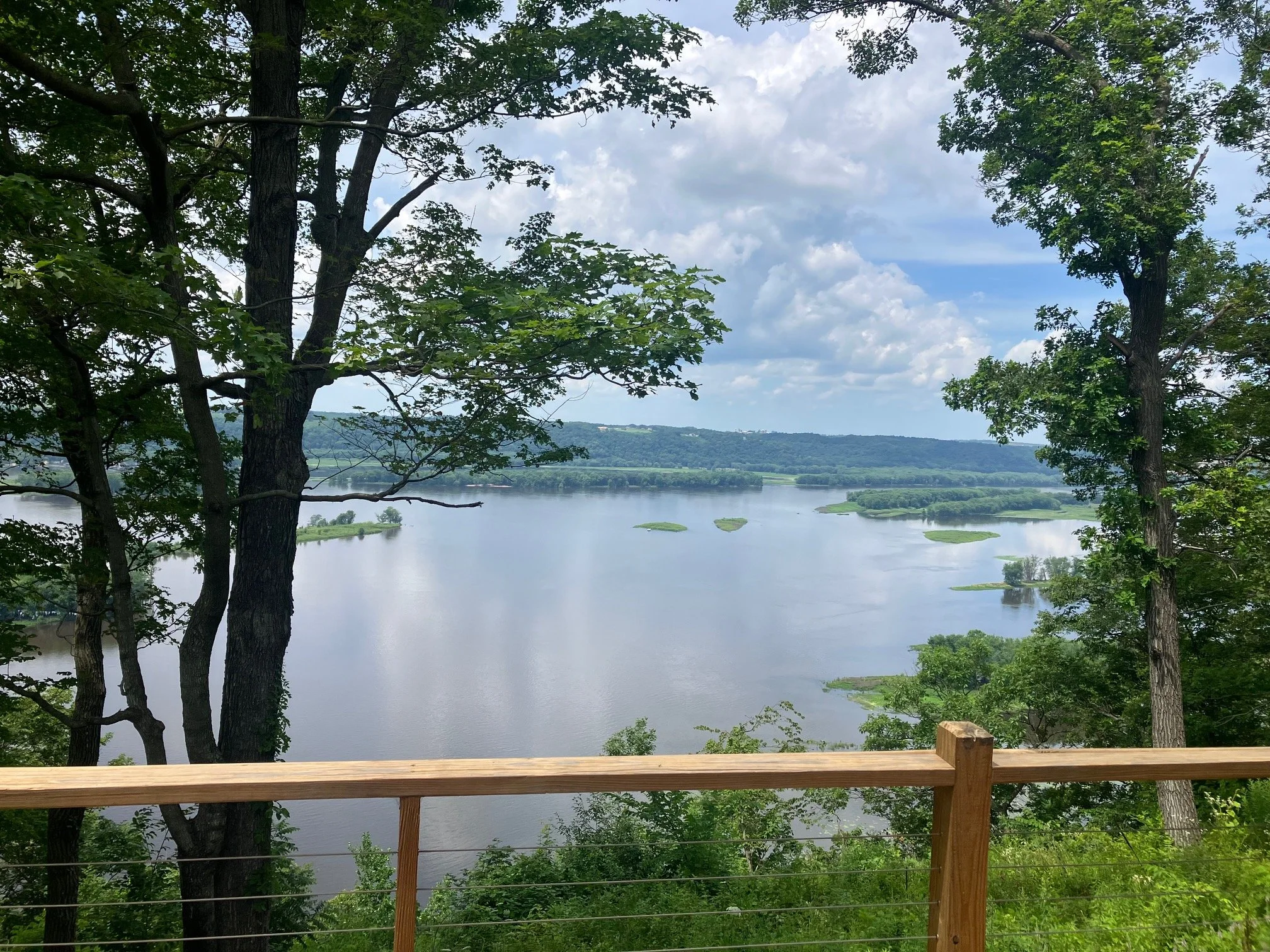
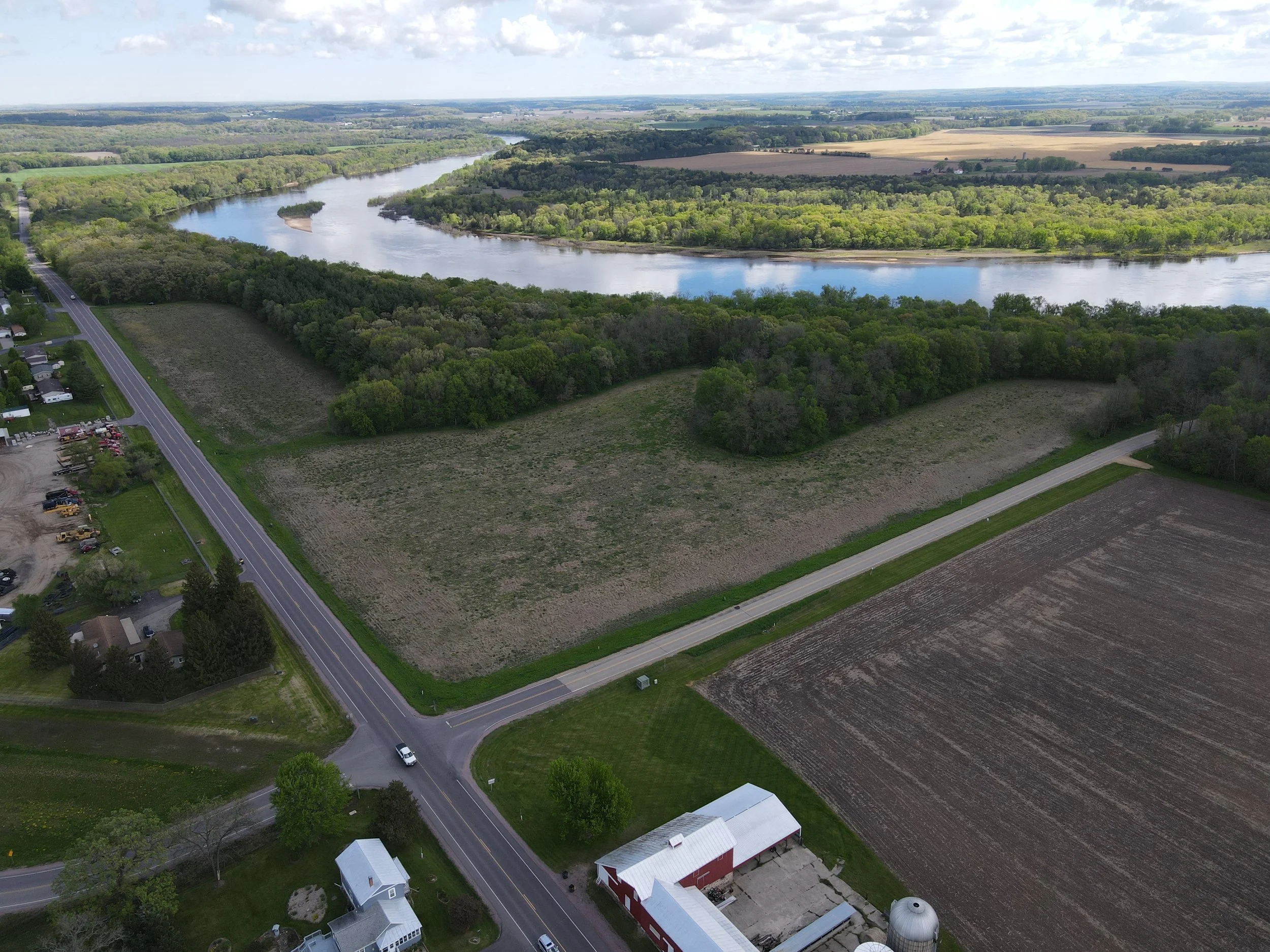
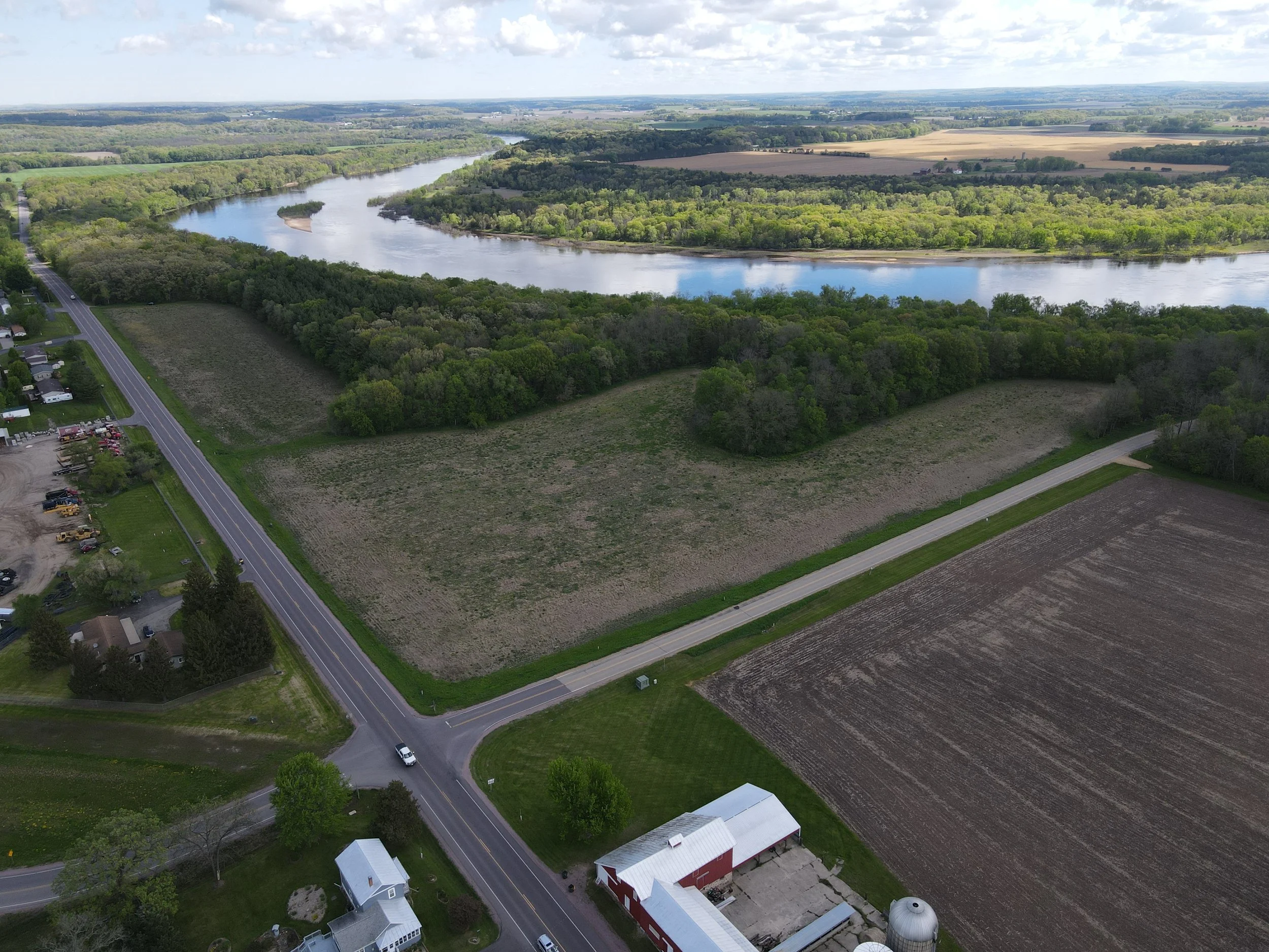
GIS & Remote Sensing Analysis
For deeper land insight and more informed comparisons.
In-house GIS professionals use LIDAR, satellite imagery, and remote sensing to analyze terrain, features, canopy height, access, and other critical attributes. This data strengthens comparable selection, supports conclusions, and enhances defensibility in complex valuation assignments. -

Smart AI Glasses
For complete inspections and consistent documentation.
Smart inspection glasses capture the full site visit so no detail is missed. This allows our team to fully focus on the property, revisit conditions as needed, and ensure every appraiser working on an assignment has accurate, first-hand visual information—even if they were not on site. -
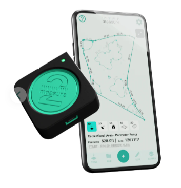
Moasure Motion Based Measuring Technology
For precise measurements where traditional tools fall short.
Moasure motion-based measuring technology creates accurate digital sketches in real time, even when obstacles prevent straight-line measurement. This improves efficiency, reduces guesswork, and ensures buildings and spaces are captured correctly for confident valuation and comparison.
Let’s Start the Conversation
Have questions about your land, project, or property?
PARE Consultants provides surveying, GIS, environmental, and appraisal services across Wisconsin and Minnesota.
Reach out today! Our team reviews every inquiry and responds within 24 business hours and we are ready to help you move forward with clarity and confidence.
What We See.
What We Value.